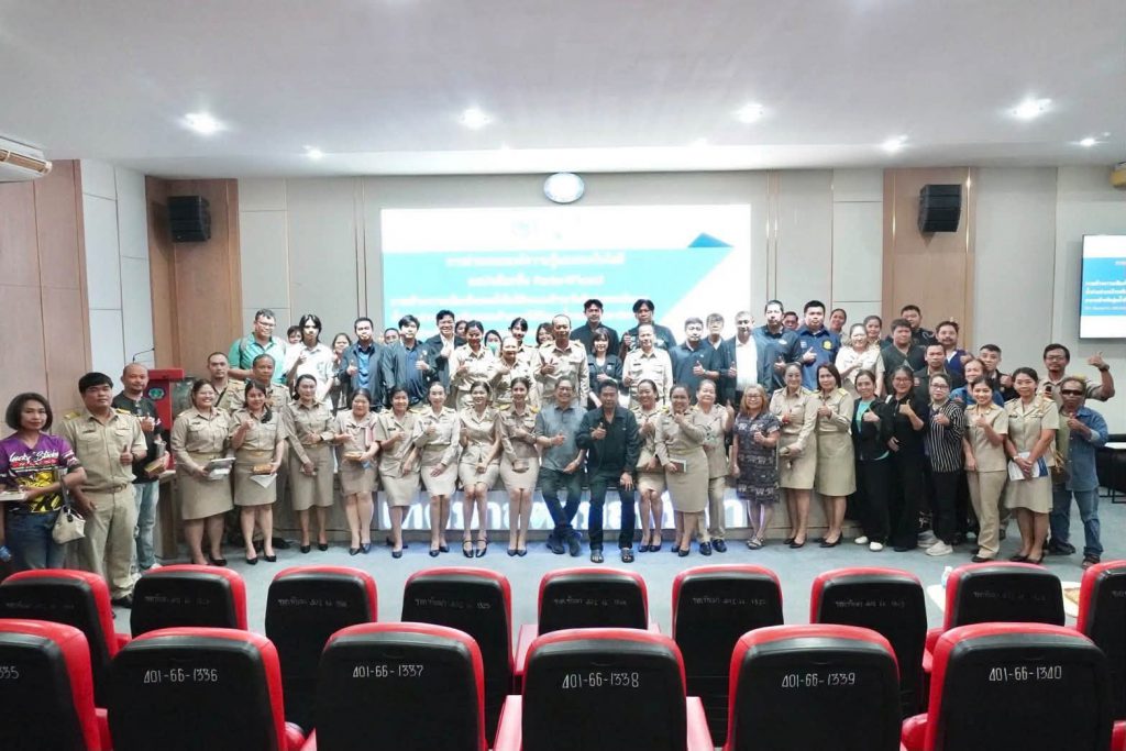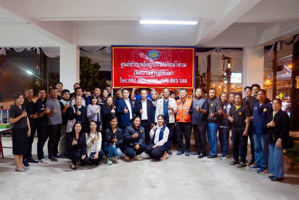
Developed through research at the Faculty of Engineering, Kasetsart University, Radar4Flood has become a vital tool for flood monitoring and warning in Thap Ma community in Rayong Province. It is used to track local conditions, plan responses, and alert residents — helping reduce the risk to life and property. The system is now expanding beyond the community level to support disaster monitoring and management across the province.
The Faculty of Engineering at Kasetsart University, led by Associate Professor Dr Punpim Puttaraksa Mapiam and her research team, developed Radar4Flood with funding from the Agricultural Research Development Agency (Public Organization), or ARDA. The system monitors heavy rainfall and forecasts flooding at the community level, providing local authorities and residents with timely access to information they need to prepare for heavy rain and floods.
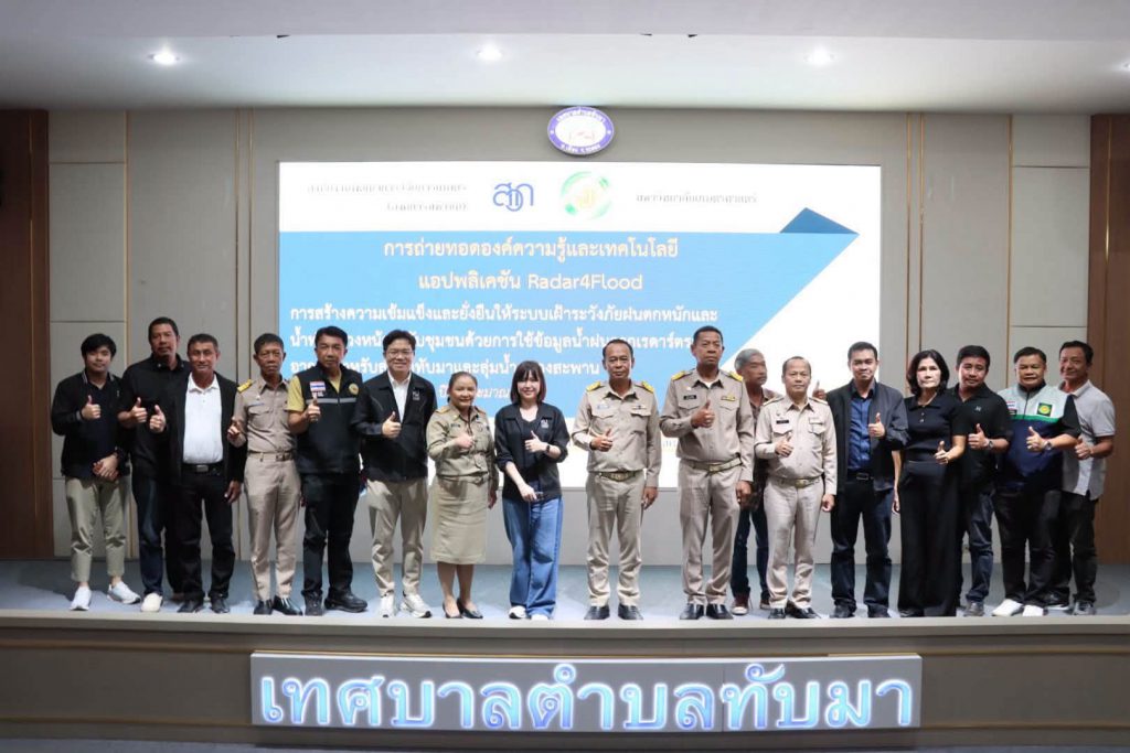
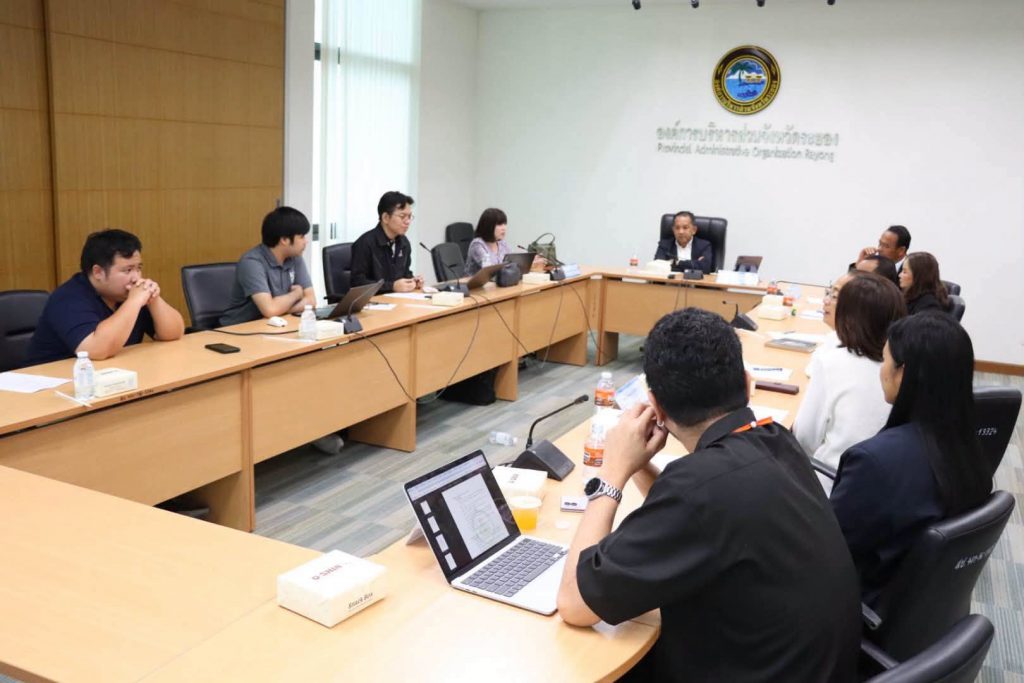
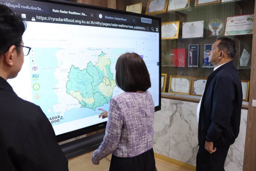
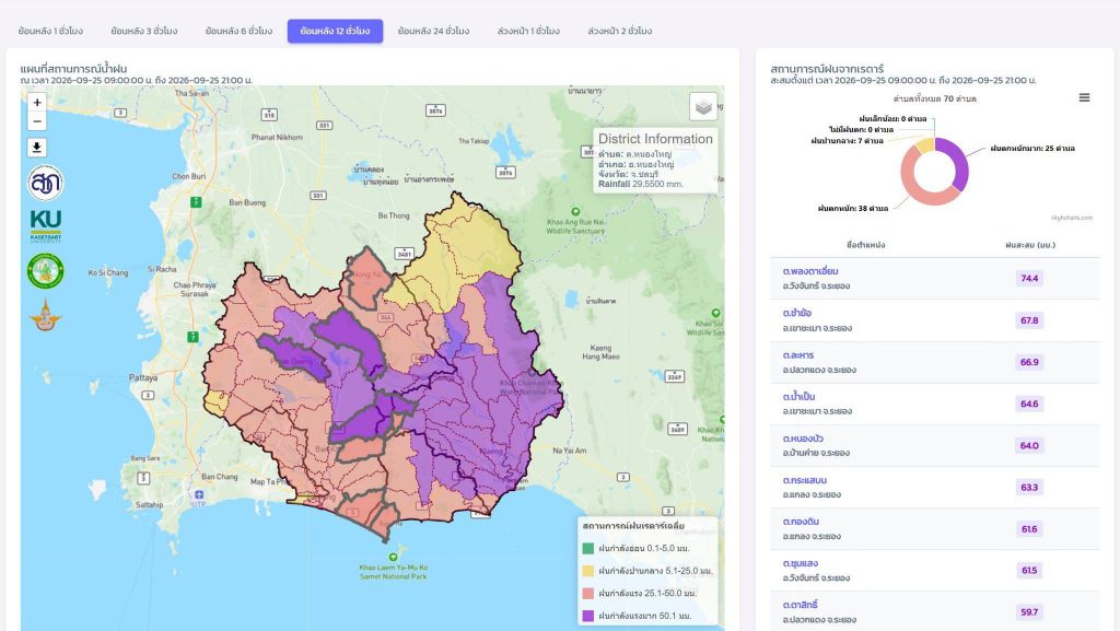
The system analyzes weather radar data from a network of four stations to determine rainfall amount and spatial distribution in near real-time, providing a 1–2 hour rainfall forecast. This data is then linked to mathematical models to predict water levels and flood areas up to 24 hours in advance.
The information is presented via a website and mobile application, along with a rainfall and water situation alert system, enabling officials and the public to monitor the situation, assess risks, and prepare for potential flooding more quickly in vulnerable areas.
From research to a trusted and practical tool for the community
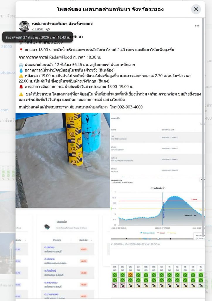
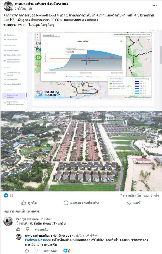
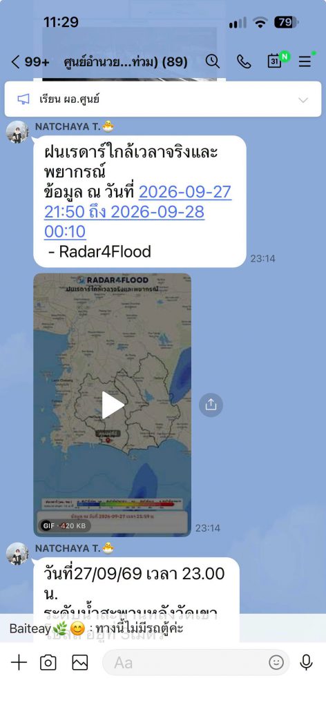
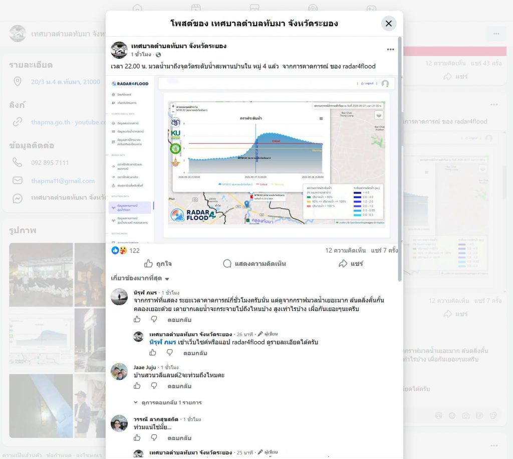
During flooding along Thap Ma Canal, beginning on 27 September, 2026, Thap Ma municipality in Mueang District of Rayong worked with the Rayong Provincial Administrative Organization to use Radar4Flood data for ongoing monitoring and public alerts. The research team provided expertise, technology, and support in analyzing the situation.
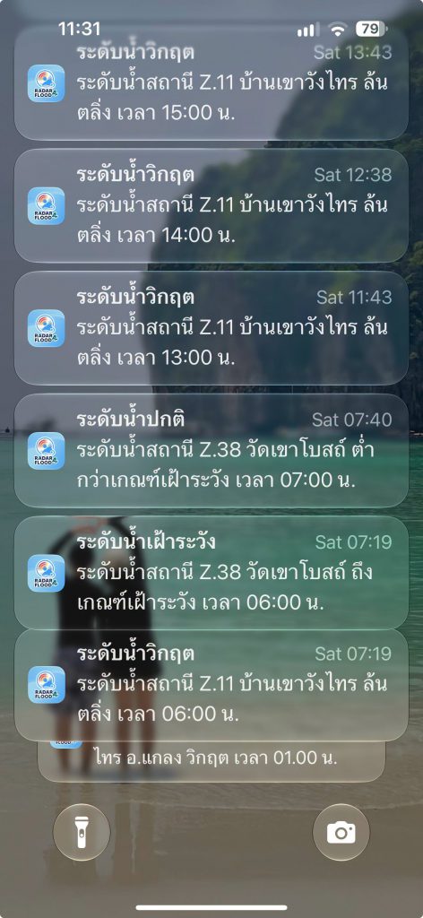
Warnings were shared through several channels, including Facebook, LINE groups, and the Radar4Flood app. This ensured that information reached local residents quickly and supported preparations such as evacuating, moving belongings, and relocating cars to safer areas in advance. These measures helped ease concern and build residents’ confidence in responding to the flood.
Radar4Flood’s most important contribution is not just the technology behind it, but making that technology a tool the community can use.
The project prioritizes sharing knowledge so local authorities and residents can monitor conditions, assess risks, manage responses, and communicate warnings among themselves. This ensures the system’s continued use and creates sustainability in community-based disaster monitoring.
Starting in the Thap Ma River Basin, Radar4Flood is now moving from a system used by the community to a broader initiative supporting disaster monitoring and management across the province. It brings together research, technology, local authorities and residents so they can respond to disasters more effectively and sustainably.